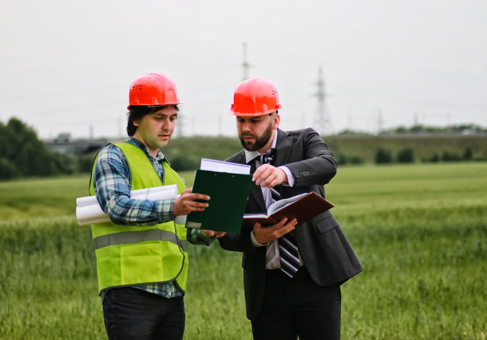
Construction project site surveys are invaluable in that they provide construction teams with crucial information and insights that guide the project’s planning, design and execution. From small residential builds to large commercial developments, there is nothing as important as a comprehensive site survey that ensures your project can advance quickly and safely within the appropriate laws. In this post, we will discuss the importance of site surveys and construction surveying work and how they have contributed to successful construction projects.
What is a Site Survey?
A site survey is measuring and closely inspecting a designated area in anticipation of development. This process involves collecting details such as the lay of the land, on-site buildings and other structures, soil conditions or existing vegetation beds, etc. For architects, engineers, and construction managers to be able to create real plans and designs, they need precisely this data, which is obtained by a site survey. A project without an adequate site survey is subject to delays, budget challenges, and unforeseen obstacles.
The Role of Site Surveys in Construction Surveying
Once the design plan is complete, that information needs to be handed over to a construction surveyor (construction staking), who will read those blueprints and translate them into physical markers on the ground. A field survey activity for construction is levelling, setting out where the open, completed site (to be filled) is and the field survey of construction reproduces these location marks or, in other words, validates the same. Here are some of the main roles that site surveys fulfil and where they fit in when it comes to construction surveying:
- Reliable Land Measurements: Site surveys offer accurate land measurements, which means projects will be constructed as designed and within the planned space.
- Topographic Mapping: These maps help builders navigate elevation changes, slopes, and other geographical effects that might get in the way of the planning process.
- Boundary Identification: Using a survey, you can demarcate property lines and boundaries to avoid any legal disputes in the future, as well as ensure that your project is within the said area.
- Utility Mapping: This is essential to prevent any accidental damage to other underground utilities such as water lines, electrical cables, or gas pipes during the construction process.
- Soil Testing: Soil is the base of any structure; hence, to check the strength and compaction (density), tests are carried out.
Benefits of Conducting a Site Survey
There are several advantages to a site survey, which in turn contribute to the success of a construction project:
- Risk Mitigation: Site surveys enable risk mitigation by early identification of potential problems, which reduces risks associated with unforeseen site conditions and decreases the likelihood of budget-draining delays or changes.
- Price Performance: The truth of web surveys assists in the correct drafting of budget plans and resources, for this reason lowering wastage as well as optimising the expenses on a task.
- Regulation compliance: As a check with building codes and zoning laws of the locality, environmental policies are easily placed in order.
- Planning: Knowing the location of a site helps create realistic building schedules and timelines, improving overall project planning.
- Improved Safety: By recognising potential challenges and gaining an understanding of the site, crews can begin construction with worker safety at top-of-mind.
Types of Site Surveys
Different types of site surveys are carried out based on the following requirements:
- Topographic Survey: It helps in mapping the features of land which are natural and man-made like contours, elevation structures, etc.
- Boundary Survey: The boundary survey establishes the accurate location of property lines, and any easements or discrepancies.
- Geotechnical survey: Set up components nearby rock along with topsoil statuses to safeguard against unsuitable footing while maintaining essential framework stability.
- Underground Utility Survey: Underground utility surveying is used to locate utilities mainly for construction design purposes; this includes water lines, gas lines, and electrical lines about underground cables.
- Environmental Survey: This type of survey is conducted to determine the present status or condition of natural conditions like wetlands, vegetation, and some specific wildlife habitats in response to environmental law.
The Process of Conducting a Site Survey
The process is divided into a few basic steps to address the data collection and analysis for an appropriate site survey:
- Pre-Program Survey Planning: Stakeholder Interview: define survey objectives, collect site conditions and acro boundary information.
- Fieldwork: Data collection on-site details, volumes, and limits using specialised equipment such as total stations. GPS or drone imagery
- Analysis: After data collection, it must be processed and analysed to turn into the correct map, model, or report.
- Creation of Survey Report: Share all the survey results in a full report, made from maps to diagrams and also suggestions.
- Stakeholder Review: Share the results of your surveys with project stakeholders, including architects and engineers as well as a construction manager, to use in project planning.
Integrating Site Survey Data into Construction Planning
Following the collection and analysis of survey data, it must be integrated into our construction planning efforts. This includes:
- Design Validation: The architects and engineers can squeeze or expand corners in plans, minimising other future discrepancies.
- Regulatory Sign-Off: Correct survey data is necessary for regulatory sign-off from local bodies.
- Construction Staking: This is the survey data used to mark out exactly where structures, utilities (shown on a utility map), and other features should be located once built.
- Site Surveys and Monitoring of Progress: At different phases in the construction, site surveys can be done to monitor progress as well as adjust if necessary.
The Role of Technology in Modern Site Surveys
Technology and advancements are there to help us evolve, which leads to efficiency and accuracy in site surveys. The main technologies found in current site surveys include:
- GPS / GNSS: GPS stands for Global Positioning System and is a constellation of satellites that provide more accurate location markers, which means better site measurements.
- Laser Scanning (3D): Laser scanners are used to capture detailed 3D site data for further analysis and visualisation.
- Drones (Unmanned Aerial Vehicles): Drones are best for quick, high-definition imaging of large-layout areas.
- Total Stations: In more easy terms, it is a combination of electronic distance measurement and angle that the data can be collected most perpendicularly.
Conclusion
A site survey is a critical requirement for every construction project and naturally, it supports the complete planning process of any site. Using comprehensive site surveys, construction professionals can minimise risks and maintain regulatory compliance while increasing project efficiency. In Perth and across most areas, the contribution of construction surveying services is crucial for attaining success in any kind of building work. A professional site survey can be a small residential project or a large commercial development; either way, investing in a good quality site survey is essential to achieving your construction goals.

:max_bytes(150000):strip_icc()/__opt__aboutcom__coeus__resources__content_migration__mnn__images__2018__03__shutterstock_1051823762-0b00dcf9cd99473cabaff5546d745b0a.jpg)


